
When should field scouting apps replace paper field records?
When Should Field Scouting Apps Replace Paper Field Records?
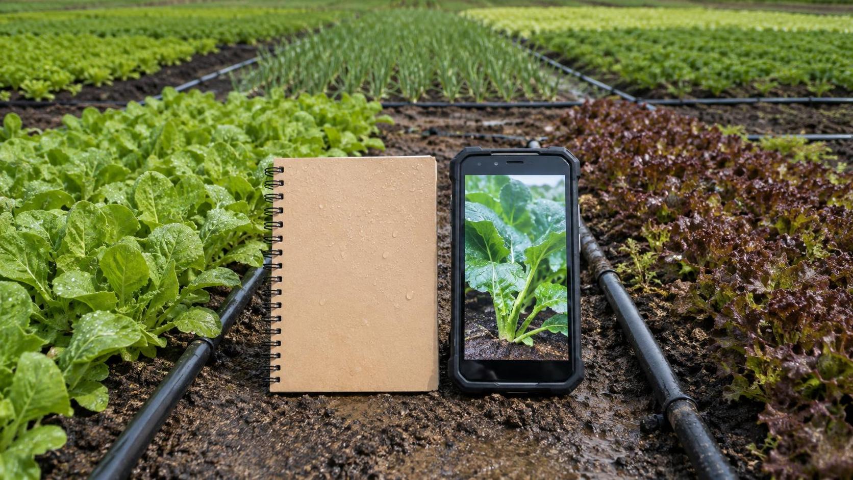
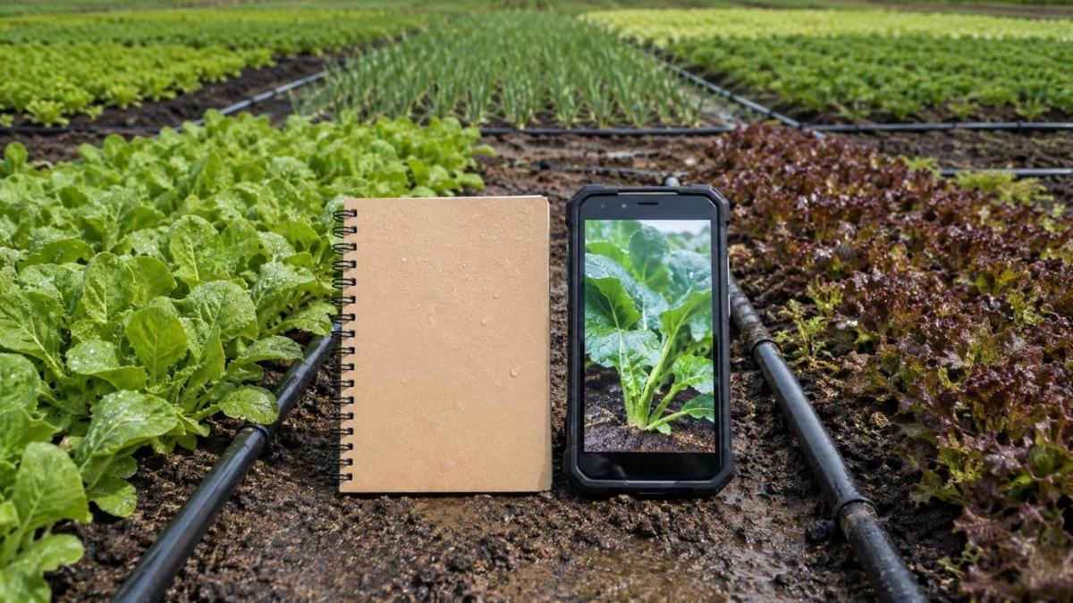
Paper field records still have a place on many farms. A waterproof notebook is inexpensive, works without a signal, and can be handed to any scout or operator with almost no training. For a single field, a small team, and a straightforward crop walk, that simplicity is hard to beat.
The problem begins when observations must move beyond one person’s memory. A note such as “aphids near north edge” may be enough for the scout who wrote it, but it becomes less useful when a crop manager, irrigation operator, drone pilot, sprayer contractor, and farm owner all need to act on the same issue. Field scouting apps should replace paper field records when the cost of delayed, incomplete, or inconsistent information is becoming greater than the inconvenience of changing the workflow.
That point is not defined by acreage alone. It depends on how many fields are being monitored, how frequently conditions change, how many people make decisions from the records, and whether observations need to connect with machinery, imagery, irrigation, or input applications. The best digital system is not the one with the longest feature list. It is the one that helps crews capture reliable observations in the field and turns them into timely action.
The Warning Signs That Paper Is No Longer Keeping Up
A farm is ready to move from notebooks to digital scouting when paper creates repeated handoffs. If notes are photographed, retyped into spreadsheets, discussed in messaging groups, or left in a pickup until the end of the day, the record is no longer a simple field tool. It has become an unreliable data pipeline.
Several practical situations usually signal that the transition is justified:
- Scouts repeatedly describe locations using vague references such as “by the trees” or “past the wet spot.”
- Different operators record pest pressure, crop stage, weed escapes, or irrigation faults in different formats.
- A manager cannot see an issue until the scout returns to the office.
- The team needs to compare conditions between fields, varieties, planting dates, blocks, or seasons.
- Drone imagery, NDVI layers, machinery guidance lines, or irrigation zones are available but cannot be linked to ground observations.
- Pesticide, fertilizer, or irrigation decisions need a clearer record of why and where work was requested.
The issue is often not that paper is inaccurate. Good scouts can produce excellent paper records. The issue is that paper does not preserve context well at scale. A written disease observation may lack a precise coordinate, photo, crop growth stage, severity rating, weather note, or follow-up status. Each missing detail makes it harder for another person to verify the finding and decide what should happen next.
For farms managing short treatment windows, irregular weather, or scattered land, a same-day alert can matter more than a neatly filed notebook. This is especially true when labor, application capacity, and equipment availability must be coordinated quickly.
What a Field Scouting App Changes in Daily Work
Field scouting apps are useful because they attach observations to a location and a workflow. A scout can open a field boundary, select a point or zone, record a structured observation, attach photographs, and assign a task or alert. Instead of waiting for verbal clarification, the receiving operator can see the field, the issue, and the requested response.
That structure has value only if it reflects how the farm actually works. A row-crop operation may need fields, management zones, crop stages, weed categories, insect thresholds used internally, and treatment recommendations. A greenhouse operation may need bays, benches, irrigation lines, nutrient delivery observations, climate alarms, and crop health photos. In orchards or vineyards, block identifiers, varieties, canopy conditions, and irrigation sectors may be more relevant than broad field boundaries.
The strongest systems reduce double entry. If an observation leads to a drone inspection, a precision spraying task, a variable-rate prescription review, or a repair request for an irrigation component, the information should not have to be rebuilt from scratch in several disconnected tools. Full integration is not always necessary on day one, but data should be exportable and ownership should be clear before a farm commits to a platform.
Where Digital Scouting Delivers the Clearest Advantage
The most compelling use case is a multi-field operation where observations drive immediate choices. Consider a scout finding uneven emergence, irrigation stress, insect damage, or nutrient-related symptoms across several blocks. With paper, the scout may collect notes throughout the route and report them later. With a mobile app, the issue can be mapped while standing in the crop, photographed under the same conditions, classified using the farm’s chosen categories, and shared with the appropriate person.
This does not make diagnosis automatic. A photo cannot replace agronomic judgment, and a colored map cannot tell a manager why a crop is underperforming. But digital records make it easier to compare ground truth with other signals. A low-vigor zone from multispectral drone imagery may justify a field visit; the scouting record can then distinguish between poor drainage, pest damage, uneven emergence, compaction, or another likely cause. The image identifies where to look. Field observations help determine what the image may mean.
Irrigation management is another strong fit. Where crews inspect pumps, filters, valves, emitters, pivots, soil moisture equipment, or fertigation components, a geotagged defect record is more useful than a handwritten remark. It can show whether the fault is open, assigned, repaired, or recurring. On a larger farm, that history also helps separate one-off failures from maintenance patterns that deserve attention before the next peak demand period.
The same logic applies to machinery-linked agronomy. An RTK-guided tractor, planter, sprayer, or combine can generate accurate operational data, but the machine does not necessarily explain crop variability. Scout observations provide the human layer: lodged areas, wheel-track damage, header losses, residue concerns, drainage problems, or patches requiring a follow-up pass. When operators can connect these notes to field maps, the conversation becomes more precise than “that field performed badly.”
Do Not Digitize a Weak Process Without Fixing It
A common mistake is to treat an app as a cure for inconsistent scouting. It is not. If team members use different definitions for “moderate infestation,” inspect different parts of a field, or skip observations when the day gets busy, a digital platform simply produces more organized inconsistency.
Before replacing paper, agree on a minimum scouting protocol. It does not need to be a lengthy manual. It should answer basic operational questions: Which fields are inspected first? What crop stages or risk periods trigger more frequent checks? Which observations require photographs? How should severity be described? Who receives an alert? Who closes the task after action is taken?
Keep forms short enough to use in heat, dust, wind, rain, and poor light. Long checklists often look impressive during software demonstrations but are abandoned during peak season. Mandatory fields should be limited to information that supports a real decision. Many farms begin with location, observation type, severity, photo, notes, and follow-up owner. Additional detail can be added later once crews have adopted the habit.
Connectivity, Devices, and Offline Work Are Not Minor Details
A digital scouting rollout can fail for a simple reason: the app assumes continuous mobile coverage where there is none. Farms with weak cellular service need offline map access, local record storage, and reliable synchronization once the device reconnects. This should be tested in real fields, not only near the farm office.
Device choice also affects adoption. A personal phone may be convenient but can raise concerns about battery life, screen visibility, damage, data access, and staff turnover. Shared rugged devices may suit some crews, while tablets can be preferable for greenhouse teams or supervisors reviewing maps. There is no universal answer, but the decision should account for gloves, dust, wet conditions, charging routines, language settings, and who is responsible for maintaining the equipment.
Data governance deserves the same practical attention. Farms should know who owns field boundaries, photos, records, and historical exports; what happens if a subscription ends; and whether data can be transferred into another farm management platform. This is particularly relevant for cooperatives, contract growers, food production groups, and operations working with agronomists or service providers.
A Sensible Way to Make the Transition
Replacing every paper record overnight is rarely necessary. A better approach is to select one workflow where information delays are visibly costly. Pest and disease scouting, irrigation fault reporting, stand establishment checks, or post-spray verification are often suitable starting points. Run the app alongside existing records for a limited period, then compare whether the digital version improved response time, location accuracy, accountability, or the quality of follow-up discussions.
The review should focus on operational questions rather than software features. Did scouts complete records without slowing down? Did managers receive useful alerts? Could field staff find the reported location? Were tasks closed after action? Did the system produce a report that was actually used during planning? If the answer is no, simplify the workflow before adding more integrations.
Paper can remain as a backup during the first season, particularly for emergency notes or crews working in harsh conditions. The goal is not to eliminate a notebook for its own sake. The goal is to ensure important observations do not disappear between the field, the office, and the next operation.
Choosing the Right Level of Digital Scouting
Not every operation needs a deeply integrated digital farm management suite. A simple mobile tool with mapped observations and exportable reports may be enough for a farm beginning to standardize scouting. Larger operations may benefit from linking field records with equipment telemetry, satellite or drone imagery, prescription maps, irrigation platforms, and input traceability systems. The more connections involved, the more important implementation discipline becomes.
This is where the wider smart-agriculture view matters. Global Smart Agricultural Machinery Systems (SAMS) examines the practical links between crop sensing, precision drones, irrigation systems, autonomous guidance, machinery performance, and digital farm management. A scouting app should be assessed as one part of that working system, not as an isolated mobile purchase. The useful question is whether it helps operators make a better decision before a sprayer enters the field, before an irrigation issue spreads, or before harvest reveals a problem that could have been addressed earlier.
Field scouting apps should replace paper records when the farm needs shared, location-specific intelligence quickly enough to change what happens in the field. If a paper notebook still supports that need without delay or confusion, it may remain adequate. Once multiple fields, multiple people, repeated observations, and machinery-linked decisions are involved, structured digital records usually become the more dependable operating method.
Related Intelligence